
‘Get Outside Toolkit’ helps residents explore their cities
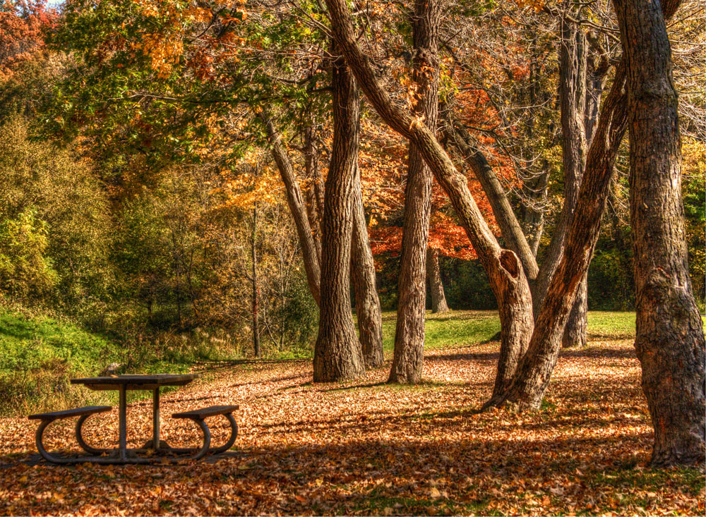
Photo above: Swede Hollow Park in St. Paul, Minn. by Teresa Boardman on Flickr.
It was a recent winter in St. Paul, Minn., when Jennifer Strahan was trying to find a place to take her then-4-year-old daughter to play. Strahan said it took her a half-hour to navigate websites and dive into PDFs to find the right information about which specific parks and recreation centers had indoor spaces and were open.
That led Strahan to ask: Why isn’t there an app that lists parks and recreation options near you at any time?
Enter the “Get Outside Toolkit,” an app framework that lets cities easily create a platform to inform residents about local parks, events and recreational opportunities. It was created by GreenInfo Network, a nonprofit that develops geospatial technology to support public interest groups and agencies. (GreenInfo Network has proven experience with mapping projects for public use: In California, the organization created the most detailed database in the nation that includes data for protected land in the state.)
The toolkit received $47,700 in 2013 from the Knight Prototype Fund during the Knight News Challenge on Open Gov. Since then it has developed into a robust, digital platform. This summer, the city of St. Paul, one of 26 Knight communities, adopted the toolkit, so residents on the go can now find parks, amenities and recreational events in a simple online interface.
“What we wanted to do is find a way to make it very easy for any city, anywhere in the nation to very quickly and easily create a park finder that can show their residents where things are happening and to get more people outdoors and going to the events,” said Strahan, who is a Web developer for GreenInfo Network.
The open-source Get Outside Toolkit is available free on GitHub for any city that wants to develop a local digital resource. The toolkit helps create a mobile-friendly website for residents and an administrative interface that’s easy to update. City staffers just have to update a Google spreadsheet and Google Calendar with their recreation and events information, which is then fed into the mapping system.
Battle Creek Park in St. Paul by Teresa Boardman on Flickr.
“What they really want is a workflow that works seamlessly with all of their existing technologies and social media outreach,” said Strahan, who said the prototyping process included meeting with city staff to understand their workflows and residents to get user feedback.
Larry Orman, executive director of GreenInfo Network, said since the tech needs of parks and recreation agencies often are low priority for cities, the Get Outside Toolkit holds great promise. “For just having spreadsheets and basic [geographic] data put into the right format, you get all of this other stuff without having to stress with it,” he said.
A city might spend $25,000 to $50,000 just to develop a Web app for one platform, Orman said. Instead, Get Outside Toolkit – which is optimized for viewing on smartphones and tablets – allows a city to develop an app for as little as $2,000.
Moving forward, GreenInfo Network hopes that 10 to 15 more cities will adopt the Get Outside Toolkit, so that they can get more feedback and refine the platform. As more cities join the platform, Strahan said they will eventually pull all the data together so a user can get a nationwide view of what’s happening in a city when traveling.
Vignesh Ramachandran is a Bay Area-based freelance journalist. He can be reached via email at [email protected].
Indian Mounds Park in St. Paul by evilfoo on Flickr.com
Recent Content
-
 Communitiesarticle ·
 -
 Communitiesarticle ·
 -
 Communitiesarticle ·